Our Services
From geodetic surveys to complex architectural projects: We bring your ideas to life with engineering precision and a professional approach.

360° Virtual Tour
We bring your spaces into the digital environment with high-precision 360° virtual tour technology.
More details →Included:
- 360° capture
- Interactive virtual tour
- Measurement and analysis tools
- Web integration

Mobile Scanner
A high-precision mobile 3D scanning solution combining GNSS RTK, LiDAR, and SLAM technologies.
More details →Included:
- Mobile LiDAR scanning
- Real-time point cloud
- GNSS RTK integration
- Indoor & outdoor scanning
- 3D modeling and analysis

Digital Twin
We create digital replicas of physical assets for real-time analysis and management.
More details →Included:
- 3D digital model
- Real data integration
- Analysis and simulation
- BIM compatibility
- Remote monitoring and management

3D Modeling
We create high-quality 3D models and renders for visual presentation of projects.
More details →Included:
- 3D model creation
- Rendering and visualization
- Animation support
- Presentation materials
- Detailed object modeling

Architectural Shopdrawing
We prepare detailed architectural shopdrawing solutions for accurate on-site execution and precise production.
More details →Included:
- Detailed application drawings
- Sections and elevations
- Material and dimension details
- Architectural and structural coordination
- Revision and coordination support

Architectural Projects
We develop functional, aesthetic, and sustainable architectural projects from concept to execution.
More details →Included:
- Concept design
- Preliminary and execution projects
- 3D visualization
- Permit projects
- Technical documentation

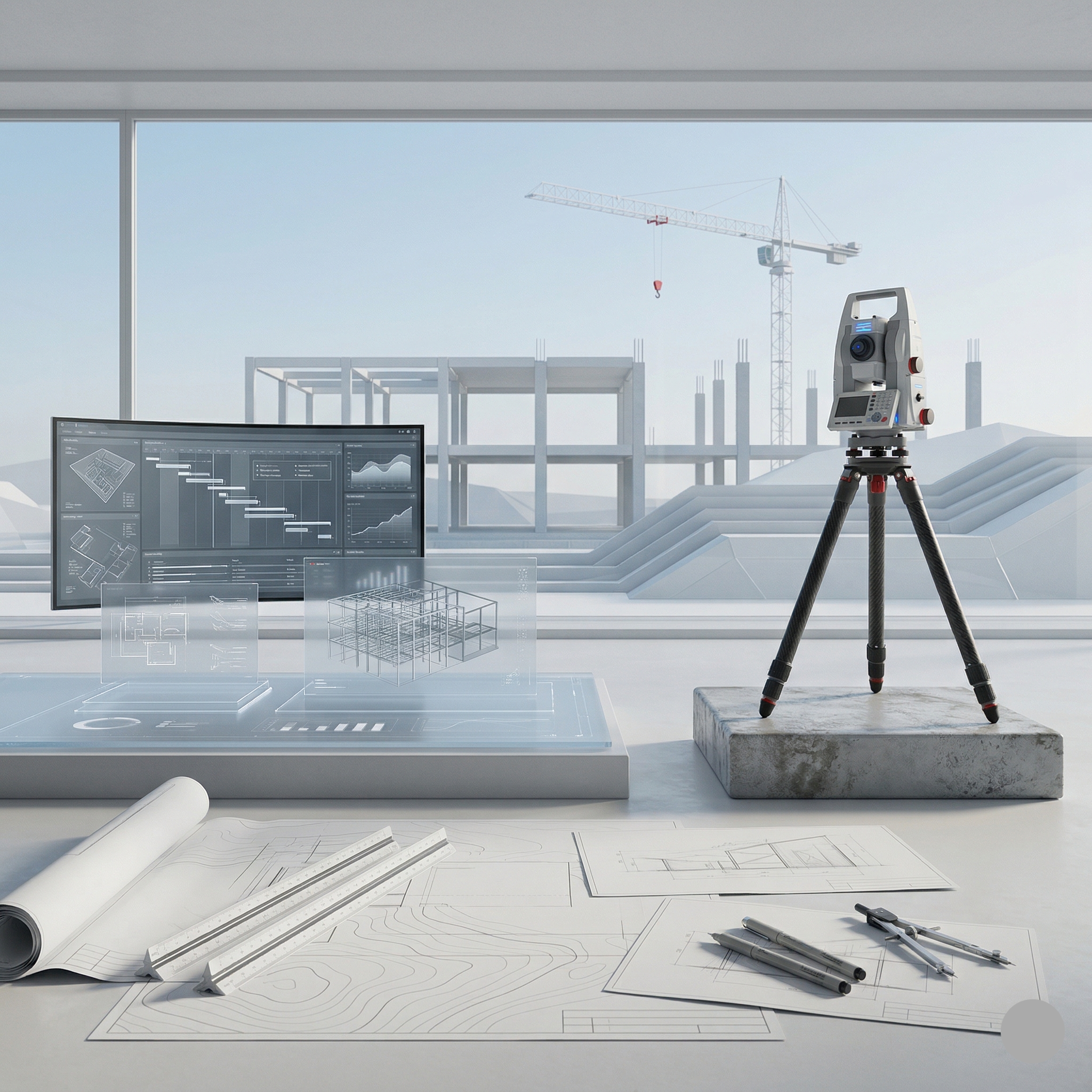
Geodesy & Topography
We provide reliable geodetic and topographic data for projects through modern equipment and high-precision measurements.
More details →Included:
- Topographic map production
- GNSS measurements
- Leveling works
- Stakeout and surveying services
- Static GNSS measurements
- Coordinate system establishment

Drone Services
We provide fast, safe, and high-quality data collection services for large areas using drone technology.
More details →Included:
- Aerial photo and video capture
- Orthophoto production
- 3D terrain modeling
- Construction site monitoring
- Agriculture and infrastructure analysis
A seamless path from idea to implementation
We follow a clear and transparent workflow to ensure every project progresses smoothly from the initial discussion to final delivery.
Initial Consultation & Analysis
We evaluate project goals, technical requirements, and site conditions to establish a clear direction.
Concept & Project Design
We transform project requirements into conceptual plans and engineering solutions, refining them until the optimal result is achieved.
Technical Development
Detailed drawings and technical documentation are prepared to ensure accuracy and feasibility.
Implementation & Supervision
We oversee the execution process, ensuring every stage aligns with the project requirements and quality standards.
Let's bring your project to life
Send us details about your project. Our team will analyze the technical requirements and provide the most suitable engineering solutions.